

ACQUIRING ORBITAL SIGNAL
Geospatial intelligence
at planetary scale.
Actionable insight. Global reach. Mission advantage.
See change before it becomes risk.
Global satellite mapping and persistent monitoring for terrain, infrastructure, maritime, border, and environmental intelligence.
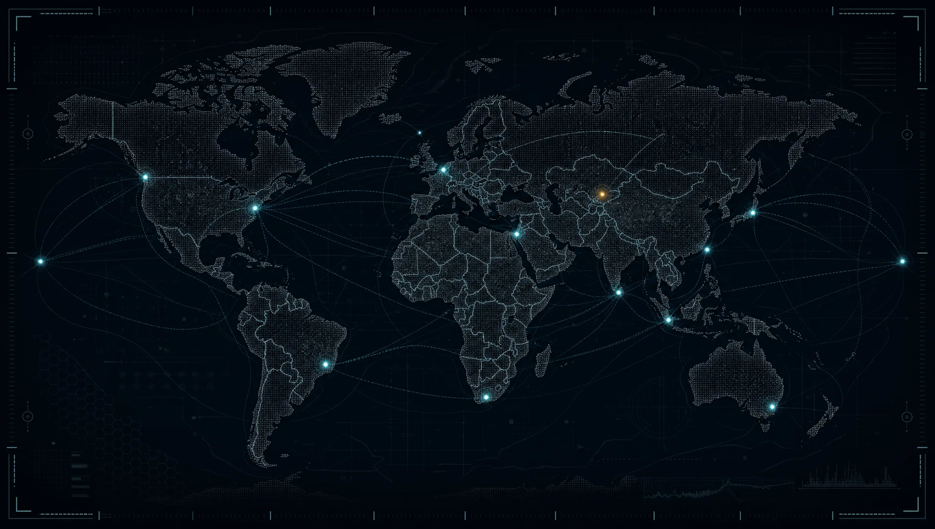
Intel Drop 01, Persistent Mapping
Monitor change across terrain, infrastructure, and strategic assets in global areas of interest.
Intel Drop 02, Data Fusion
Unify disconnected datasets into a single operational layer, built on 22 trillion data points.
Intel Drop 03, Historical Archive
Three years of comprehensive geospatial history reveals trends, patterns, and anomalies.
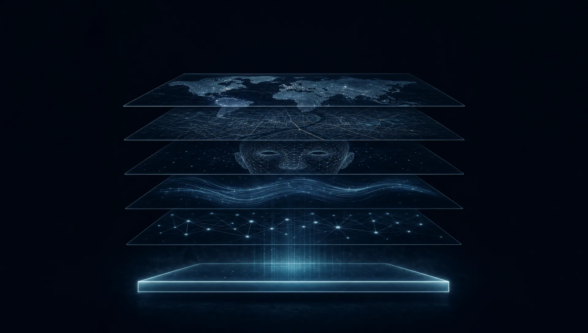
LAYER 01 / 7 SYNCHRONIZED
HOVER THE ACTIVE NODES TO INTERCEPT CAPABILITY SIGNALS
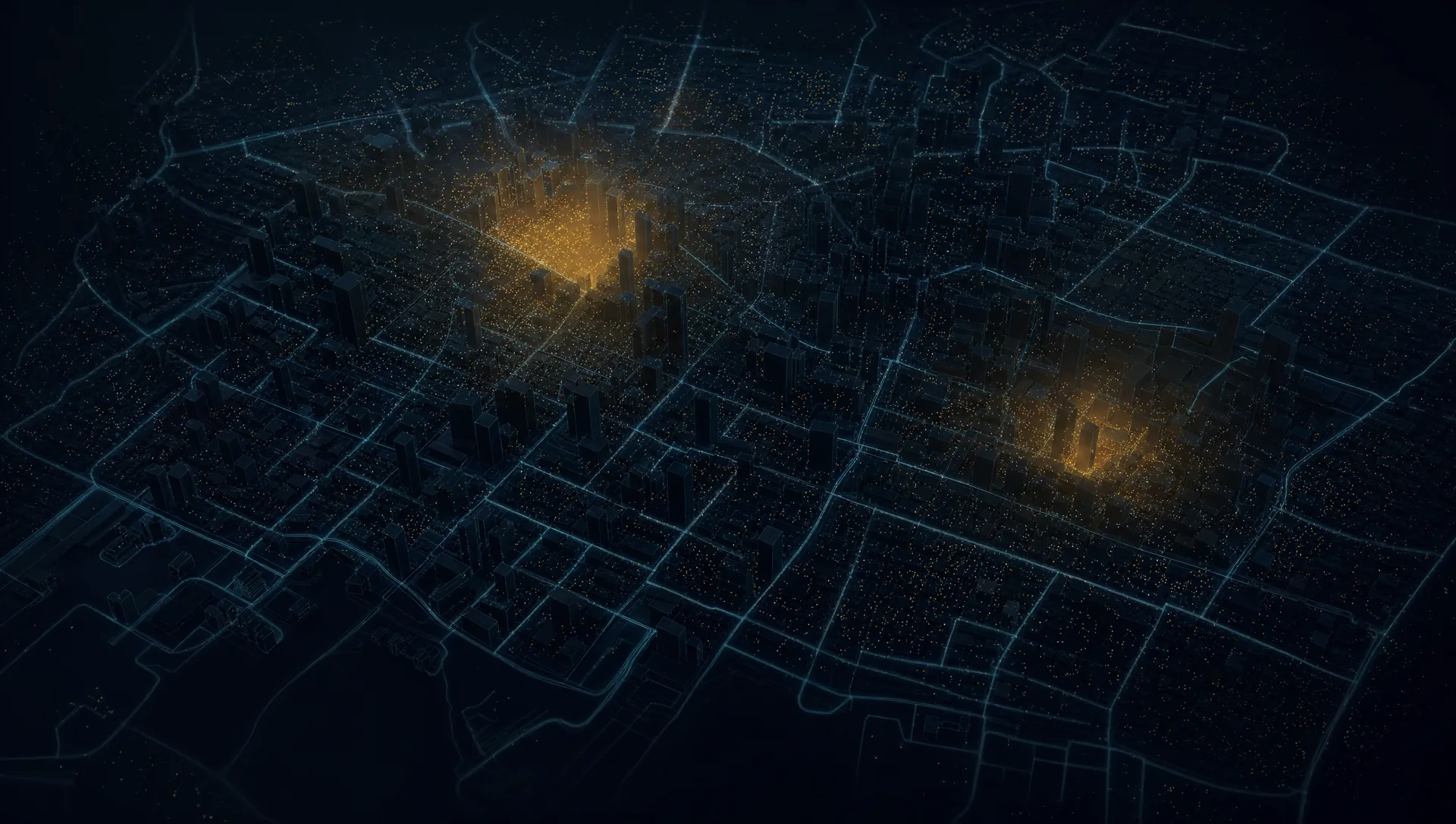
LAYER SYNCHRONIZED
Millions of signals. One operational picture.
Geogentia connects geospatial, behavioral, infrastructure, temporal, and open-source data into decision-ready intelligence.
- DATA REPOSITORY
- 22 trillion points
- HISTORICAL DEPTH
- 3+ years
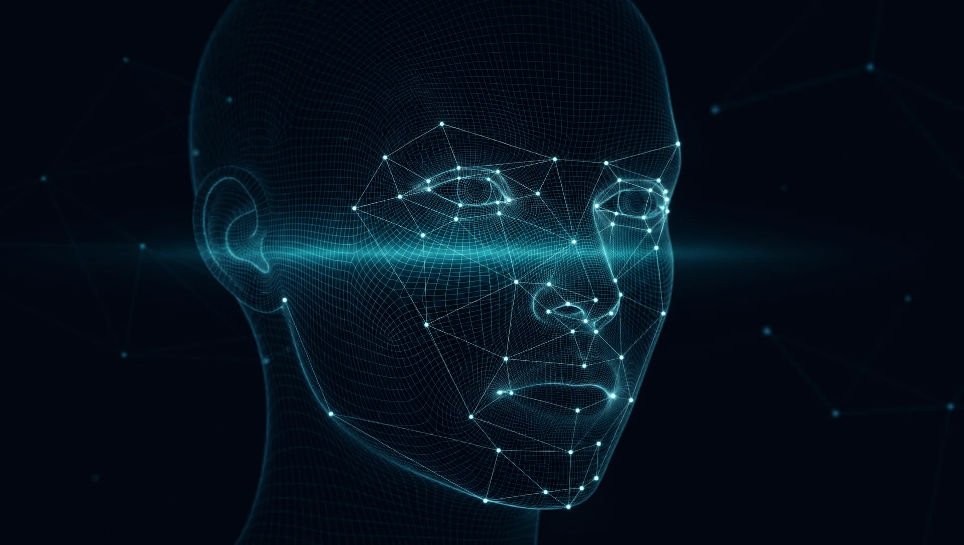
MATCH CONFIDENCE
0.97
- Agency watchlistMATCH
- Biometric enrollmentMATCH
- Travel recordMATCH
- Credential databaseMATCH
- Open source intelMATCH
AUDIT TRAIL ENABLED · CLASSIFICATION AUTHORIZED · ONE ENTITY, HIGH CONFIDENCE
Identity resolution for high-confidence decisions.
Secure identity matching, watchlist support, access verification, and cross-source entity resolution for authorized environments. Authorized teams resolve identity with confidence, accountability, and speed.
EVERY SIGNAL BECOMES A DECISION LAYER
INTEL DROP 04, PREDICT
Anticipate outcomes with confidence.
NETWORK ANOMALY IDENTIFIED
Cyber intelligence connected to the physical world.
Geogentia Lens bridges the gap between cybercrime and the physical world: network intelligence, risk correlation, digital infrastructure monitoring, and cyber-physical situational awareness.
MOVE YOUR CURSOR THROUGH THE GRAPH. THE NETWORK NOTICES.
One platform. Every layer of intelligence.
Geogentia helps defense, security, and enterprise teams transform complex global data into clear operational advantage.
Empowering insights from the field.
“We have integrated Geogentia Lens into every aspect of our cyber investigations. Its capabilities to swiftly bridge the gap between cybercrime and the physical world are unparalleled.”
“Lens is the first tool we use to understand the physical world around a crime scene. It is a game-changer for our investigations.”
COMMON QUESTIONS
Geogentia democratizes access to geospatial intelligence, leveraging Big Data and AI to transform geographical data into actionable insights, helping organizations make informed decisions.
Geogentia holds the industry's richest data repository, with over 3 years of comprehensive geospatial data and more than 22 trillion data points for instant, actionable insights.
Our platform empowers the public sector, law enforcement, investigative journalists, and corporate teams to uncover hidden patterns and stay ahead.
By integrating geospatial intelligence, Big Data, and AI, Geogentia helps organizations understand their world better, anticipate trends, and create robust solutions to complex challenges.
Request a secure briefing to see how Geogentia transforms raw data into actionable insights and start your journey toward unparalleled geospatial intelligence.
Yes. Geogentia maintains SOC 2 Type II and ISO 27001 certifications. You can review our security posture and attestations at https://trust.geogentia.com.
Contact our mission team.
Learn how Geogentia's geospatial analytics can benefit your organization. Briefings are confidential and tailored to your mission.